Archive Notes · SOURCE LED
Sandsend, Staithes and Runswick Bay Without a Car
A car-free guide to the North Yorkshire coast: what to see in Sandsend and East Row, why Staithes rewards a visit, and how to reach Runswick Bay by bus.
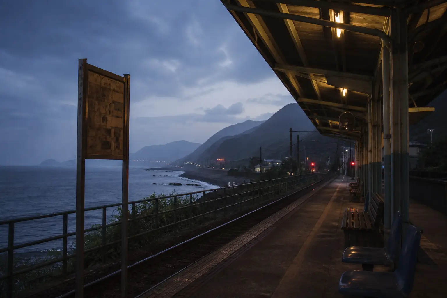
Sandsend and East Row sit at the foot of Lythe Bank, about three kilometres north of Whitby, and both are reachable on foot along the beach or by the hourly bus that runs up the coast. Staithes, roughly sixteen kilometres further north, is a harbour village of narrow ghats and cottages stacked above the water, and it rewards a visit for its fishing history and its position on the Cleveland Way. Runswick Bay, a few kilometres beyond Staithes, is reached by the same coastal bus, and its beach, cliff path and village lanes fill an easy half day.
What is there to see in Sandsend and East Row without a car?
Sandsend is a small settlement where the valley of the East Row beck meets the sea. The beach runs south toward Whitby, and at low tide the sand is firm enough to walk the whole way, passing the remains of the alum works at Saltwick Nab on the Whitby side. The village itself has a short front, a few houses, a pub and a car park, and the sea wall carries the road north toward Lythe.
East Row is the older part, a cluster of cottages at the mouth of the beck, and it is where the Sandsend of the nineteenth century began. Alum was worked on the cliffs above from the early seventeenth century, and the trade left its mark on the shoreline in the form of spoil and ruined walls. The Sandsend East Row car-free approach is straightforward: the bus stops on the main road, and from there everything in the village is within a few minutes on foot.
Walking north from Sandsend, the beach gives way to rock and the path climbs toward Kettleness. The Cleveland Way runs along the cliff top here, and the views back over Whitby Abbey are the reason many people make the trip. For a shorter outing, the walk south to Whitby along the sands takes about forty minutes at a steady pace, and the return can be made by bus if the tide has turned.
Facilities are limited. There is a pub, a café in season and public toilets near the car park. Walkers without a car should carry water and check tide times before setting out along the beach, because the sand between Sandsend and Whitby is covered at high water in places.
Why is Staithes worth visiting on a car-free North Yorkshire coast trip?
Staithes was once one of the largest fishing ports on the Yorkshire coast, and its harbour, cottages and cobbled lanes preserve that history in a compact space. The village is built into a steep valley, with the beck running down to a small harbour and the sea beyond. The older part, known as the Bottom End, is a maze of narrow passages called ghats, and the houses are stacked one above another on the hillside.
The village is also known for its association with Captain James Cook, who is said to have worked in a shop in Staithes as a young man before going to sea. A heritage centre in the village covers this and the wider fishing history. The beach is small and tidal, and the harbour dries at low water, which makes it a place to look at rather than swim from.
For walkers, Staithes is a stop on the Cleveland Way, and the cliff path north toward Runswick Bay and south toward Skinningrove is part of the national trail. The village has a pub, a few cafés and a shop, and the bus stops at the top of the bank, from where a steep path leads down to the harbour. Anyone arriving without a car should allow time for the climb back up.
How do I reach Runswick Bay without a car and what should I do there?
Runswick Bay is served by the same coastal bus route that links Whitby, Sandsend, Staithes and the villages between. The bus stops on the main road above the bay, and a path leads down through the village to the beach. The descent is steep in places, and the return is uphill, so a reasonable level of fitness helps.
The bay itself is a wide curve of sand and rock, with a stream running across the beach and cliffs at either end. At the northern end, the cliff path climbs toward Kettleness, and the views along the coast are open in both directions. The village is a small cluster of houses and cottages above the beach, with a pub and a few places to eat in season.
Runswick Bay was historically a fishing village, and like Sandsend it has a connection to the alum trade, which was worked on the cliffs nearby. The beach is popular with families, and at low tide there is space for walking and exploring the rock pools. There are public toilets near the beach, and the village is small enough to see in a couple of hours.
How do the coastal villages fit together on foot?
The three villages sit on a stretch of coast that can be walked in sections using the Cleveland Way and the beach where the tide allows. Sandsend to Whitby is the easiest section, mostly on sand. Whitby to Staithes is a longer cliff walk of about sixteen kilometres, with steep sections and few places to leave the path. Staithes to Runswick Bay is shorter, around eight kilometres, and follows the cliff top with views back toward the harbour.
Walking the whole stretch in one day is possible for fit walkers but leaves little time in the villages. A more practical plan is to use the bus for the longer gaps and walk the sections that interest you. The bus runs roughly hourly during the day, and the journey between Whitby and Staithes takes about thirty minutes.
Tide times matter on the beach sections. The sand between Sandsend and Whitby is passable at low water, but the same beach is covered at high tide, and the cliff path is the alternative. Walkers should check a tide table before setting out and carry a map, because mobile signal is patchy on parts of the cliff.
What should walkers know before setting out?
The coast between Sandsend and Runswick Bay is served by a single bus route, which makes a car-free trip feasible but also means that missing the last bus leaves a long walk. Timetables change with the season, and the last service in the evening is earlier in winter than in summer. Checking the timetable before the day begins is part of the planning.
Weather on this coast changes quickly, and the cliff paths are exposed to wind and rain. Waterproofs and sturdy shoes are more useful than an umbrella. The villages have limited shops, so food and water are best carried from Whitby or Staithes.
Accommodation in the villages is limited, and most visitors base themselves in Whitby, which has the widest choice of beds and the best bus connections. From Whitby, Sandsend is a short ride or walk, Staithes is a half-hour bus journey, and Runswick Bay is a little further along the same route. That arrangement keeps the trip simple and leaves the walking for the coast itself.
Reading the record
June 1956. Missionaries arrived in Taipei after studying Mandarin in Hong Kong. The chronology links this selection to its publisher so readers can compare the wording, scope and date. Where a route from the former bilingual site points here, the route is retained as continuity, not as proof that its former page text may be copied.
Related paths
Historic LDS Meetinghouses Taiwan · LDS Church History in Taiwan · Athens NY Street Festival and Second Street Events · Taiwan LDS History and Everyday Records. These links follow the archive’s timeline, place and source structure rather than a generic tag cloud.
Sources consulted
- Taiwan: Church ChronologyThe Church of Jesus Christ of Latter-day Saints
- The Church in TaiwanThe Church of Jesus Christ of Latter-day Saints
- Key Historical Events in TaiwanBYU Religious Studies Center